Tracking the Elusive Jaguar in the Peruvian Amazon
In the dense rainforests of the Peruvian Amazon, the jaguar moves as a silent shadow. This apex predator is notoriously difficult to observe directly, making population monitoring a significant challenge for conservation biologists. Researchers have turned to non-invasive methods, particularly camera traps, to gather data on jaguar presence, abundance, and movement without disturbing their natural behavior.
Camera traps are remotely activated cameras that capture images or videos when triggered by movement or heat. Placed strategically along animal trails, near water sources, or at scent-marking sites, they provide a window into the lives of these elusive cats. The Peruvian Amazon, with its vast and remote landscapes, offers both opportunities and obstacles for such fieldwork. Over the past decade, several research initiatives have deployed networks of camera traps across protected areas and community-managed forests to track jaguar populations.
Understanding jaguar movement patterns is essential for designing effective conservation strategies. Movement data reveal how jaguars use space, which habitat features are critical, and where corridors between populations exist. This article explores the process researchers follow — from camera setup to data analysis — and how the resulting insights support conservation planning in the region.
Setting Up Camera Traps in the Amazon Rainforest
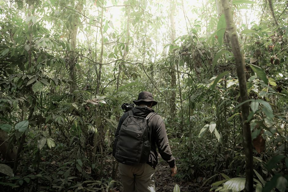
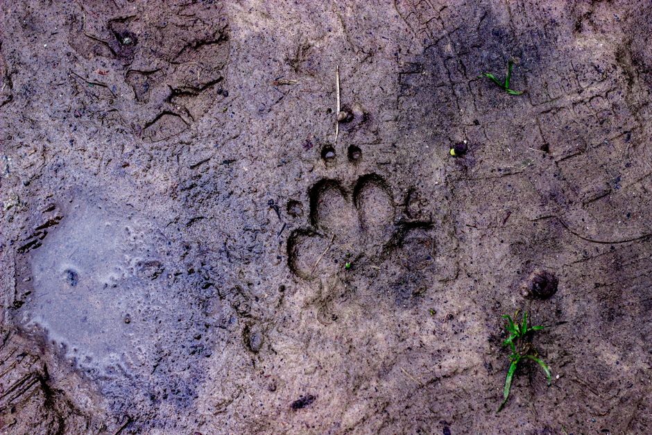
The first step in any camera trap study is selecting suitable locations. Researchers rely on local knowledge, previous sightings, and sign surveys (e.g., tracks, scat) to identify areas with high jaguar activity. Trails used by jaguars often coincide with those of their prey, such as peccaries and deer. In the Peruvian Amazon, field teams from organizations like Jungle Ecology work with local guides to access remote sites, sometimes requiring days of travel by boat or on foot.
Once a site is chosen, the camera is mounted on a tree or post at a height that matches the animal’s body. The camera is positioned to capture a clear view of the trail or waterhole. Cameras are typically set to take three photos per trigger with a short delay to avoid excessive images of the same animal. Bait is rarely used because it can alter natural behavior; instead, cameras rely on natural pathways. Each camera unit is protected by a weatherproof housing, but humidity and insects still pose maintenance challenges. Batteries and memory cards are checked every few weeks, and data are backed up in the field.
The density of camera placements depends on the study area size and research questions. For population density estimation, a grid of cameras spaced approximately two kilometers apart is common. In corridors or smaller areas, cameras might be placed closer together. The goal is to maximize detection probability while covering representative habitats. Researchers also record environmental variables such as vegetation type, distance to water, and human disturbance at each camera station to later correlate with jaguar captures.
Data Collection and Image Analysis
Each camera trap accumulates thousands of images over a deployment period of several months. Sorting through this data is a labor-intensive process. Researchers download the images and use software to organize them by camera and date. Every image is visually inspected; those containing jaguars are separated and cataloged. Individual jaguars are identified by their unique rosette patterns, which serve as natural fingerprints. This process, known as pattern recognition, can be done manually or with the aid of computer algorithms that compare spot configurations.
For each identified jaguar, a capture history is created — a record of which cameras detected it and when. This information allows researchers to estimate population size using capture-recapture statistical models. Movement patterns become evident by examining the sequence of detections across the camera network. For example, a jaguar photographed at multiple cameras within a short period indicates movement across that distance, providing data on travel speed and habitat permeability.
Analysis also involves temporal patterns: are jaguars more active at night or during dawn/dusk? Activity patterns can be compared across sites with different levels of human presence to assess potential impacts. Similarly, spatial analysis tools like GIS are used to map detection locations and create density surfaces. The combination of spatial and temporal data yields a comprehensive picture of jaguar ecology in the region.
Understanding Movement Patterns
Jaguar movement patterns are shaped by the availability of prey, water, and cover. In the Peruvian Amazon, where the landscape is a mosaic of flooded forests, terra firme forests, and river edges, jaguars show preferences for certain habitat types. Camera trap data reveal that jaguars often travel along riparian corridors, which provide both prey abundance and cover for stalking. These corridors also connect patches of suitable habitat, allowing jaguars to disperse and maintain gene flow between populations.
Home range sizes vary by sex, season, and resource density. Males typically have larger ranges than females, and ranges may expand during the dry season when prey becomes more concentrated near water sources. By tracking multiple individuals across the camera network, researchers can estimate home range boundaries and identify core areas that are critical for the species. Overlap between individuals indicates social tolerance or competition, depending on context.
One important pattern that emerges from long-term studies is the use of travel routes. Jaguars often follow particular paths—often along ridgelines or game trails—that minimize energy expenditure. Identifying these movement corridors is vital for conservation, as they represent the links between isolated populations. When these corridors are disrupted by roads, agriculture, or settlements, jaguar movement becomes restricted, increasing the risk of local extinction.
Linking Movement to Conservation Planning
The movement data gathered from camera traps directly inform conservation planning in the Peruvian Amazon. Conservation organizations and government agencies use these spatial information to prioritize areas for protection. For example, if camera traps show that jaguars frequently use a particular forest corridor between two reserves, that corridor becomes a candidate for conservation easements, reforestation, or wildlife-friendly land management. The data provide evidence-based arguments for establishing new protected areas or expanding existing ones.
In addition to land protection, movement patterns help mitigate human-wildlife conflict. Jaguars that roam near cattle ranches or communities may be at risk of retaliation killing. By understanding which areas are most likely to be used by jaguars, managers can implement preventive measures such as improved livestock enclosures or compensation programs. Researchers from Jungle Ecology have collaborated with local communities to share camera trap images, fostering awareness and tolerance.
Furthermore, movement data can feed into regional conservation strategies, like the Jaguar Corridor Initiative, which aims to maintain connectivity across the species’ entire range. In the Peruvian Amazon, identifying key connectivity zones between the Andes and the lowland rainforest is a priority. Camera trap studies contribute to this by validating or refining connectivity models based on actual animal movements. It is important to note that conservation outcomes depend on multiple factors, including policy enforcement, community engagement, and habitat quality. The data themselves are a tool, not a guarantee of success.
Challenges and Future Directions
Camera trap studies in the Amazon face numerous challenges. Equipment failure due to humidity, theft, or damage by animals such as tapirs and bears can cause data gaps. The dense forest limits camera detection range, and some jaguars may learn to avoid cameras. Additionally, large areas cannot be covered entirely, so sampling must be strategic. Statistical models require assumptions that may not always hold, and small sample sizes can limit inference.
Emerging technologies offer promising improvements. Artificial intelligence and machine learning are being developed to automate image sorting and individual identification, reducing the time researchers spend on manual analysis. Drones with thermal cameras might complement ground-based traps, especially for detecting jaguars in open areas. GPS collars provide highly detailed movement data, but their deployment is invasive and requires capturing animals, which is not always feasible or ethical.
Long-term monitoring remains essential to detect population trends and shifts in movement patterns due to environmental changes or human activities. Collaborative networks that share data across sites and countries can enhance understanding at larger scales. Future studies in the Peruvian Amazon will likely combine camera traps with genetic sampling (e.g., scat DNA) to obtain a more complete picture. As technology advances, the methods for tracking the elusive jaguar will continue to evolve, providing deeper insights into its secretive life and informing conservation decisions that aim to sustain this iconic species in its natural habitat.